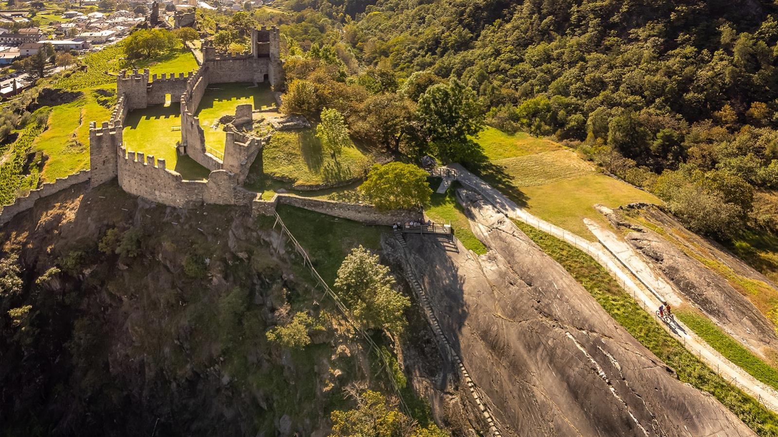
The Sentiero dei Castelli – the trail of the castles – is a circular route for MTBs between Tirano and Grosio that takes in the valley floor and the mountain sides in the central part of Valtellina. Most enjoyable when ridden in a clockwise direction, the varied route winds through fields, apple orchards, chestnut groves and Valtellina’s signature terraced vineyards, but it’s the many castles (one “castello”, two “castelli”), towers (one “torre”, two “torri”) and churches that you’ll tick off in quick succession that lend this route its charm.
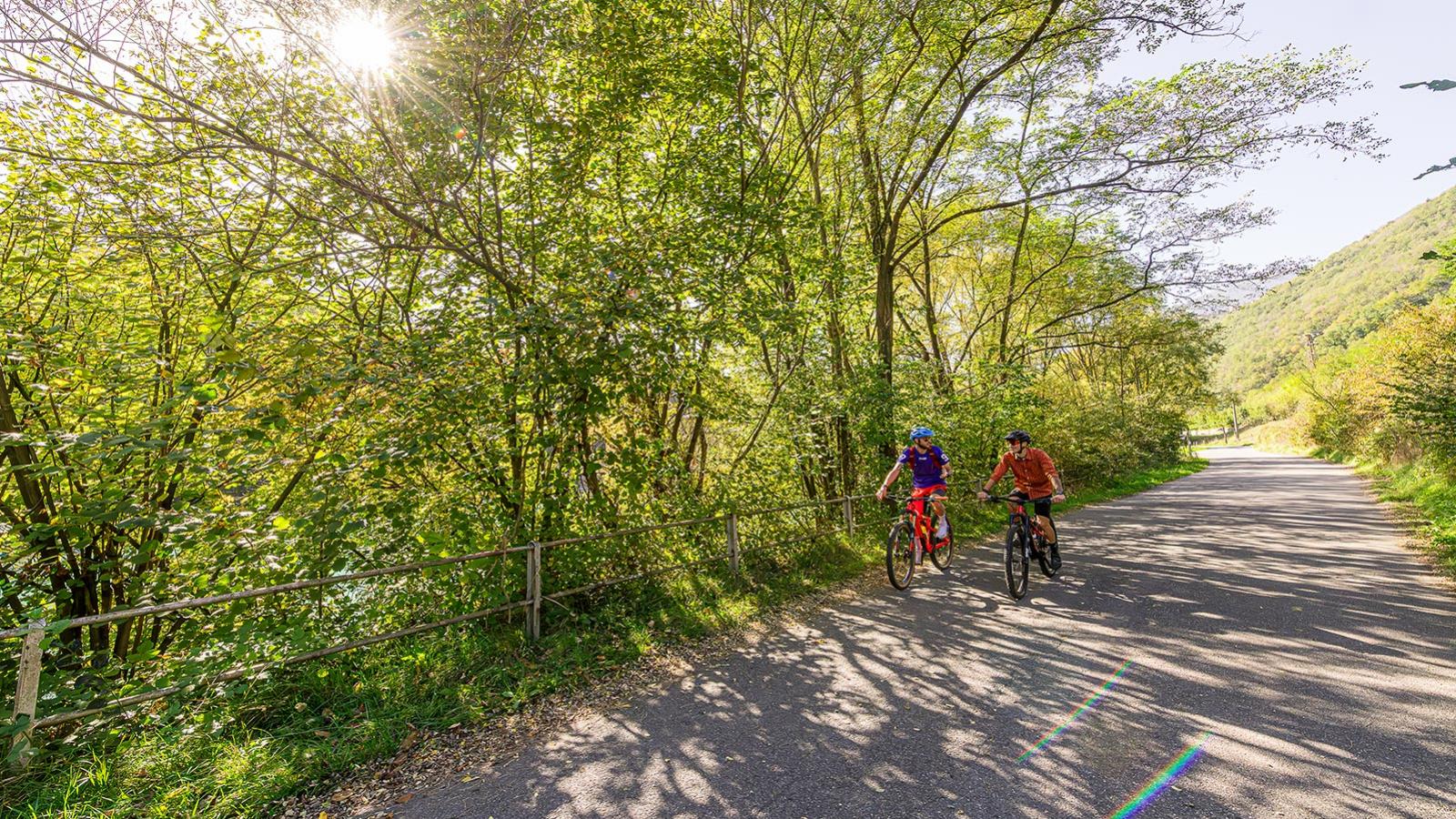
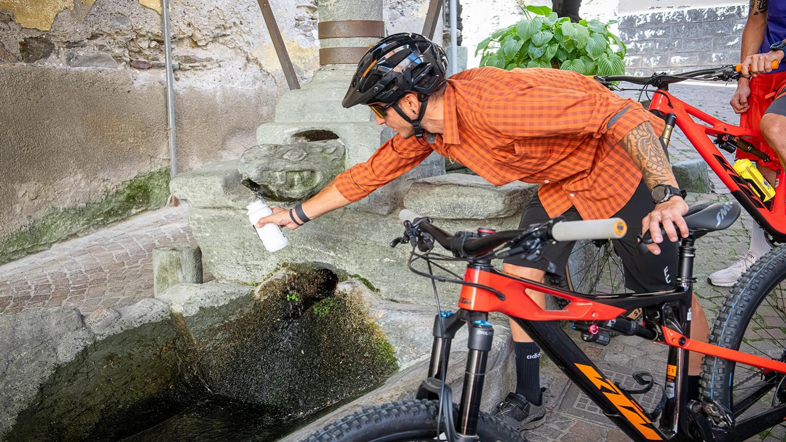
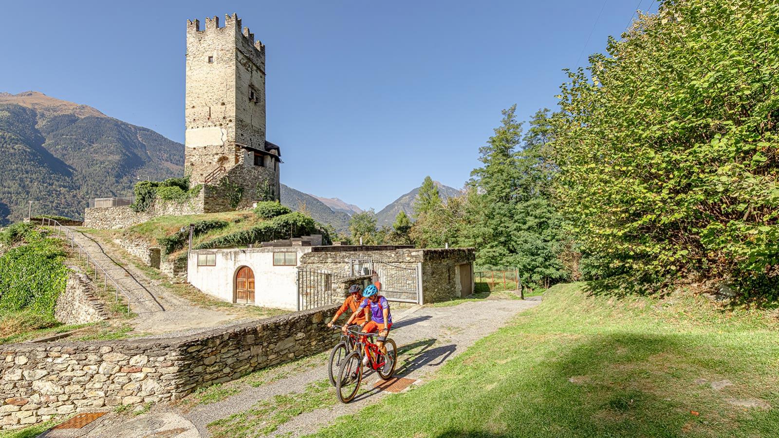
Set off along the bike path from the train station in Tirano, sticking to the bottom of the valley with a slight incline. As you get near the Torre di Vione, it ramps up and there’s a short stretch of uphill singletrack. Enjoy the dirt tracks and fast, flowing singletrack as you continue onwards to Grosio, where the Castello Visconteo, Parco delle incisioni rupestri (Rock Engraving Park) and the Castello di San Faustino await – if you’re looking for a good snack break, you’re in the right place! In fact, the whole route is a great opportunity for MTB-loving foodies to be enticed by local cuisine.
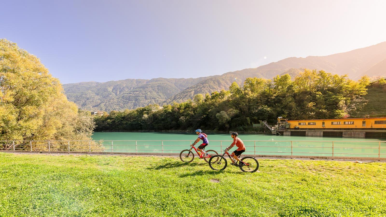
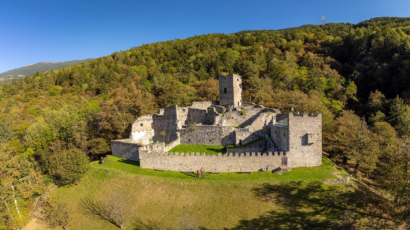
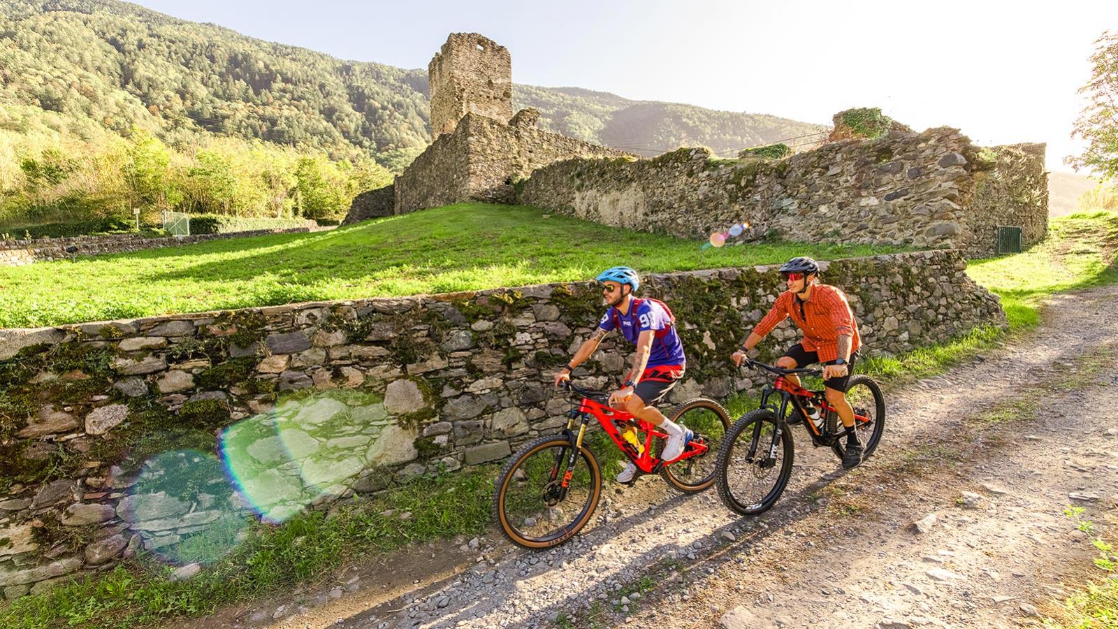
At halfway, you’ll be on the left bank of the River Adda and ready to tackle the fun trails that dip and dive up to the Torre di Pedenale and the Castello di Bellaguarda. From here, there’s a downhill with one tricky section (S3) where it’s best to walk, before a quick climb to the Torre di Sernio and a long traverse through the woods. Now’s time for the final, glorious descent (S3) to Tirano, passing Castello di Santa Maria.
With a sun-facing position and moderate elevation (the highest point is 720 metres above sea level), this route is rideable all year round, although best avoided in extreme heat in the middle of the day or frigid cold in mid-winter. It’s waymarked with red arrows (positioned vertically,) as well as info boards and red and white trail markings (horizontal). Average difficulty: S1 on a scale of 0–5.
INFOPOINT TIRANO
+39 0342 706066
iattirano@valtellinaturismo.com

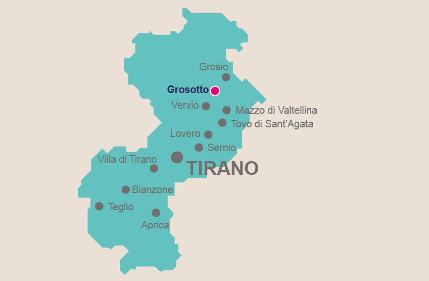
Frequently plundered over the centuries, there is little remaining of Grosotto’s ancient medieval village, but these days it is a lively little town.
Via Patrioti is particularly worth exploring, where you’ll find the old rectory and can admire the typical use of stone on the entranceway with ornate decorations of angels, flowers
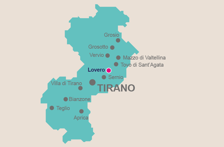
Geographically speaking, the predominantly agricultural village of Lovero touches on both sides of the valley, making for a picturesque, varied landscape with Alpine pastures and traditional cabins known as maggenghi on the side towards Valcamonica, and the other on the slopes on Monte Masuccio.
Much of Lovero’s charm lies


Sitting above the valley floor in somewhat of a sun trap, the small town of Sernio is split into four neighbourhoods: Valchiosa, Di Sotto, Piazza and Biolo. The houses, immersed in the greenery of the local orchards, are looked over by the tall, imposing sight of the Parish Church of Santi Cosma and Damiano. Built in 1477
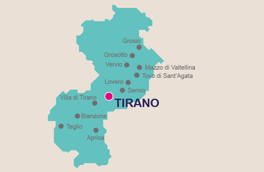
Tirano has a lot going on in terms of its geography. After all, it’s where Switzerland and Italy meet, where the Aprica and Bernina passes merge, and on the road connecting Milan with the upper part of Valtellina. For a dose of ancient history, quaint old town charm and appealing views of centuries-old buildings, Tirano’s wealth of churches