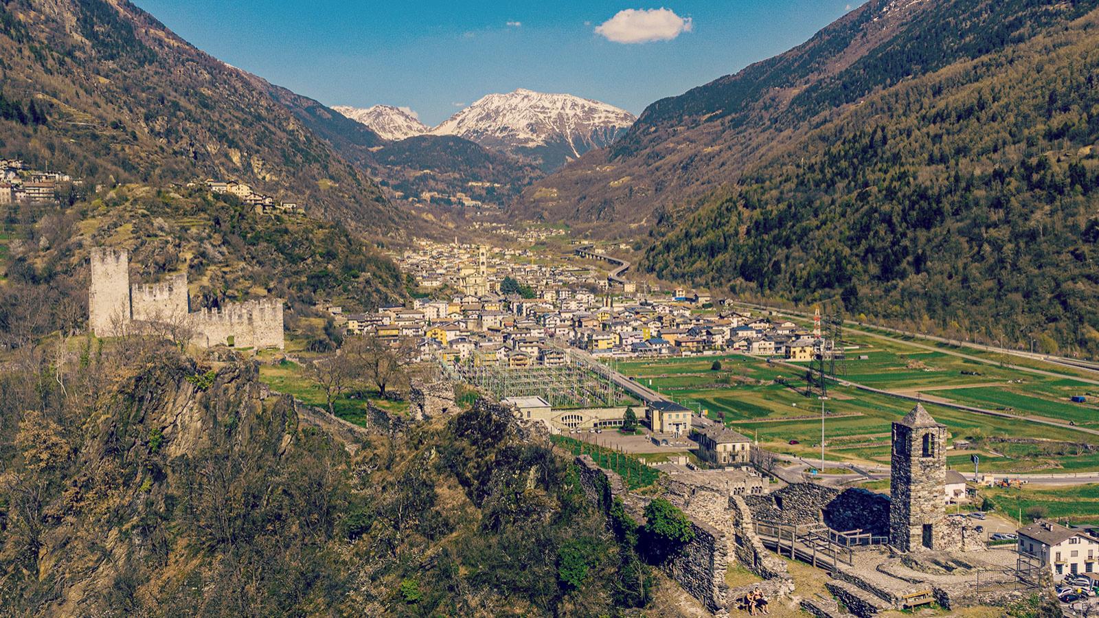
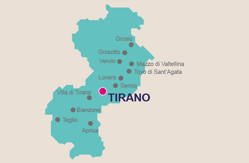
The Sentiero dei Castelli is a waymarked route that skirts in and out of eight different districts in the Comunità Montana Valtellina di Tirano, namely Tirano, Sernio, Lovero, Tovo di S. Agata, Vervio, Mazzo di Valtellina, Grosotto, Grosio. Discover the history of these very mountains as the route passes by a wealth of castles, churches, ancient towers, and archaeological remains.
Immersed in Valtellina’s signature unspoilt nature, the route hugs the lower slopes of the valley, winding through apple orchards, vineyards, chestnut woods, and dry stone terraces. For those embarking on the Sentiero dei Castelli, expect a pleasing mix of the outdoors, culture, and tradition.
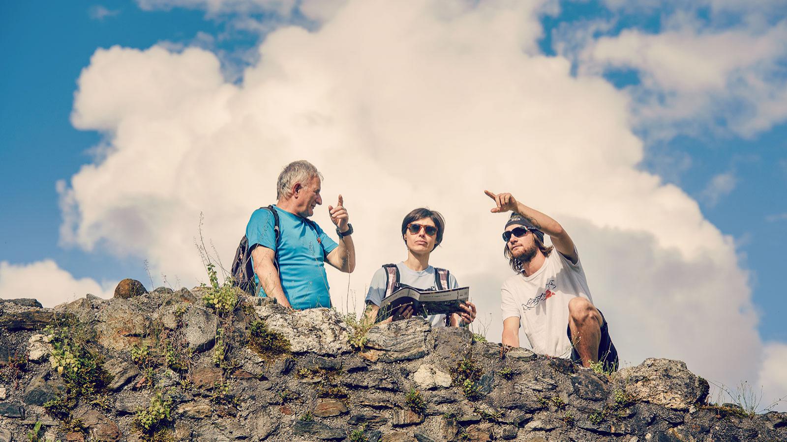
Suitable for all, this recreational route is well signposted with white and red markings and arrows to ensure you stay on track, plus easily digestible information in the form of regular info boards and panels.
INFOPOINT TIRANO
+39 0342 706066
iattirano@valtellinaturismo.com

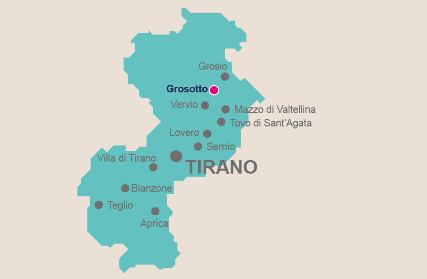
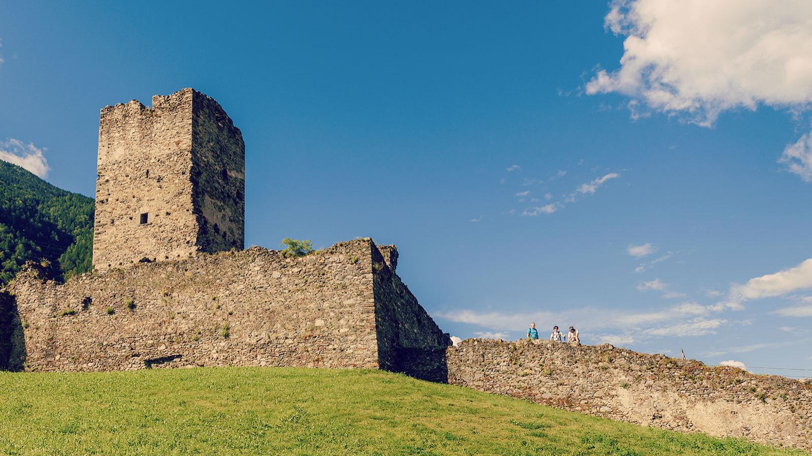
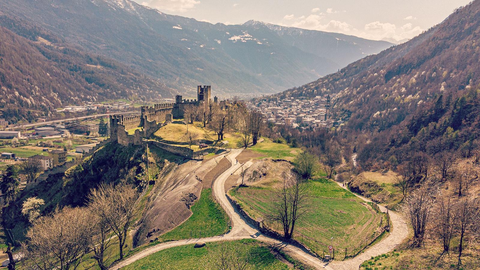
Frequently plundered over the centuries, there is little remaining of Grosotto’s ancient medieval village, but these days it is a lively little town.
Via Patrioti is particularly worth exploring, where you’ll find the old rectory and can admire the typical use of stone on the entranceway with ornate decorations of angels, flowers
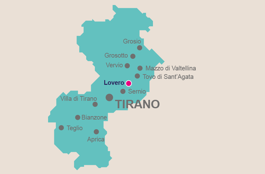
Geographically speaking, the predominantly agricultural village of Lovero touches on both sides of the valley, making for a picturesque, varied landscape with Alpine pastures and traditional cabins known as maggenghi on the side towards Valcamonica, and the other on the slopes on Monte Masuccio.
Much of Lovero’s charm lies


Sitting above the valley floor in somewhat of a sun trap, the small town of Sernio is split into four neighbourhoods: Valchiosa, Di Sotto, Piazza and Biolo. The houses, immersed in the greenery of the local orchards, are looked over by the tall, imposing sight of the Parish Church of Santi Cosma and Damiano. Built in 1477
Tirano has a lot going on in terms of its geography. After all, it’s where Switzerland and Italy meet, where the Aprica and Bernina passes merge, and on the road connecting Milan with the upper part of Valtellina. For a dose of ancient history, quaint old town charm and appealing views of centuries-old buildings, Tirano’s wealth of churches